Quantifying Flood Risk in New York City
Introduction
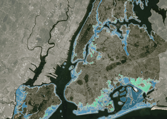
The purpose of this project is to provide capacity to the Mayor's Office of Climate and Environmental Justice to quantify the number of affordable homes at risk of extreme flooding events. The end product will seek to create a series of maps and databases such that the city can allocate federal grants to developments most in need.
Skills Used:ArcGIS, Excel, R (sf, tmap, tidyr, dplyr), InDesign
Exploratory Data Analysis
Summary of results coming soon.
Project undertaken with guidance of Senior Policy Advisor Elizabeth (Lizzie) Hodges McQuade at the New York City Mayor's Office of Climate and Environmental Justice.
Thumbnail credit: NYC Flood Hazard Mapper